
Precision with Purpose
Survey methods, records and field observations chosen for your project requirements.
Land and engineering surveying from Lucena City, Quezon. Established in July 2016, with project experience across the Philippines.
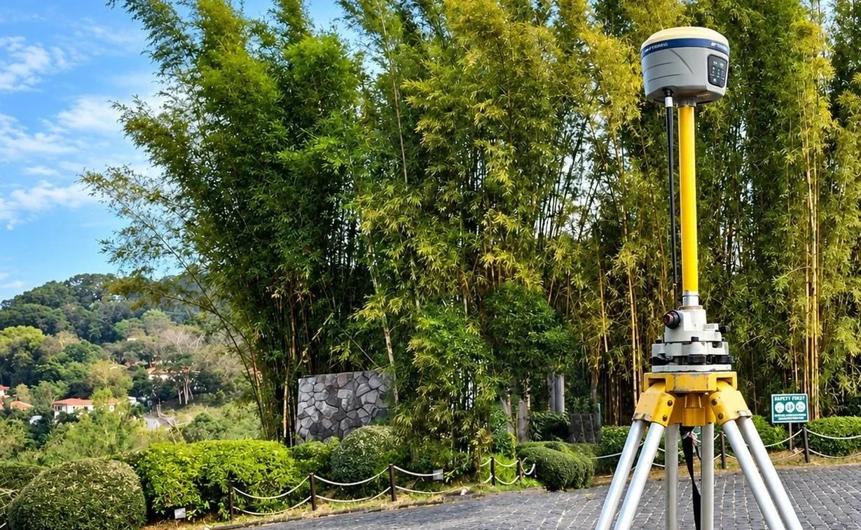
Established in July 2016, Octantis Land Surveying is a geodetic engineering firm serving projects across the Philippines. We work with landowners, developers, contractors, businesses and government agencies.
Our team combines sound surveying principles, field experience and technical training to deliver accurate measurements, present reliable data and prepare plans and sketches suited to each project.
We aim to be a leading team of geodetic engineers, recognised for professional service and dependable results. Our expertise covers property boundaries, construction and infrastructure surveys, aerial mapping, hydrographic surveys and environmental boundaries.
Explore our expertiseAccuracy, consistency and ethical practice guide our work. Our licensed engineers and surveying professionals take pride in delivering land and engineering survey services that meet our clients’ requirements.
To strive for excellence by providing high-quality surveying services, supporting our clients and meeting agreed project deadlines.
Registrations, supplier records and professional affiliations.

Professional judgement, clear communication and technical review guide each assignment.
Survey methods, records and field observations chosen for your project requirements.
Work guided by the agreed scope and applicable technical requirements.
Requirements, responsibilities and timelines discussed before work begins.
Field data, plans and technical records checked before release or submission.
From the first enquiry to the final survey outputs, the scope, schedule and requirements guide the work.
We review the project location, purpose and available records to identify the survey requirements.
The survey method, outputs, quotation and schedule are discussed before fieldwork begins.
Field measurements are processed into the agreed survey plans, digital data and technical records.
The technical outputs are checked and prepared for the agreed release or agency submission.
Share your project requirements with Octantis. We’ll discuss the records, site conditions and next steps.
Discuss your project