
 01
01BOUNDARY · RELOCATION · SUBDIVISION
Land & property
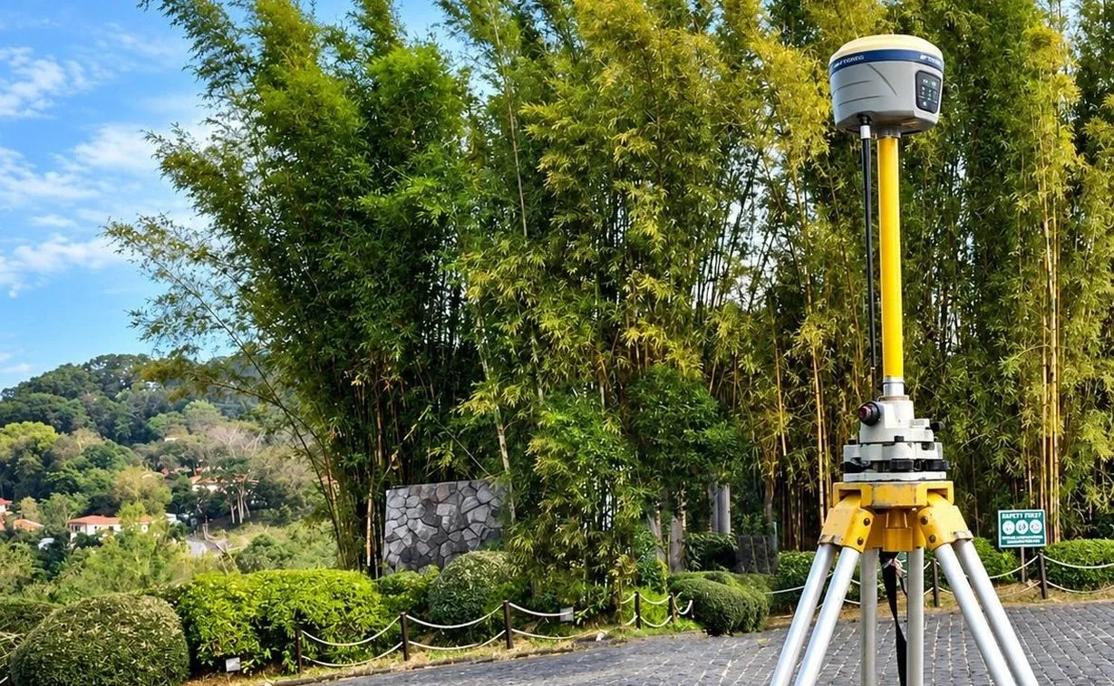
Locate boundaries, verify property information and prepare plans for the next stage of ownership or development.
Explore services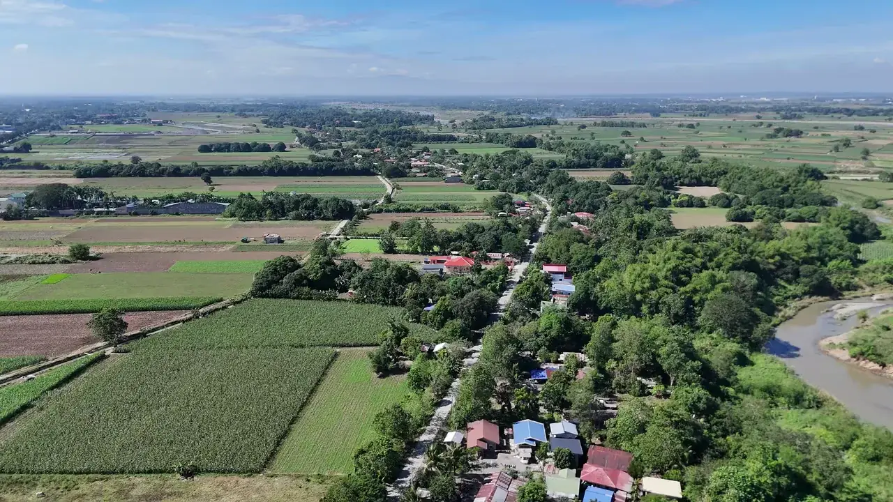
Land and engineering surveys that support clear boundaries, informed design and practical project decisions.
Good project decisions start with reliable land information. We turn property records and site measurements into the survey data your project needs.
Based in Lucena City and established in July 2016, Octantis serves landowners, developers, contractors, businesses and government teams.
Get to know OctantisProperty, engineering and mapping expertise, with a scope defined around your site, purpose and required outputs.
View all services01Locate boundaries, verify property information and prepare plans for the next stage of ownership or development.
Explore services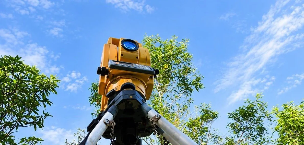 02
02Gather terrain, alignment and layout information to support engineering design and construction.
Explore services 03
03Map land, project corridors and underwater terrain with methods suited to the site and scope.
Explore services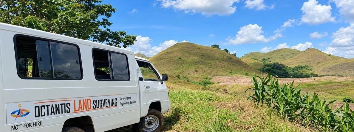 OCTANTIS IN THE FIELD
Our fieldwork and technical preparation connect what is on the ground with the plans and records your project requires.
Property, infrastructure and development assignments from the Octantis company portfolio.
Explore our projectsDPWH Quezon 3rd District Engineering Office
East Avenue Medical Center
Tripartite Engineering and Construction






Understand the records, scope and site conditions that shape your survey.
Talk to our teamTell us about your site, goals and available records. We’ll help define the scope and next steps.
Discuss your project